
Thank you for supporting this site ❤️
Make a donation
Make a donation
Cadott topographic map
Click on the map to display elevation.
Thank you for supporting this site ❤️
Make a donation
Make a donation
About this map
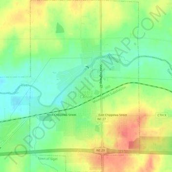
Name: Cadott topographic map, elevation, terrain.
Location: Cadott, Chippewa County, Wisconsin, United States (44.93371 -91.17599 44.96634 -91.13636)
Average elevation: 307 m
Minimum elevation: 281 m
Maximum elevation: 337 m
Thank you for supporting this site ❤️
Make a donation
Make a donation
Other topographic maps
Click on a map to view its topography, its elevation and its terrain.