
Lac Boivin topographic map
Interactive map
Click on the map to display elevation.
About this map
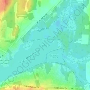
Name: Lac Boivin topographic map, elevation, terrain.
Location: Lac Boivin, Granby, La Haute-Yamaska, Estrie, Québec, Canada (45.39530 -72.71367 45.41688 -72.67637)
Average elevation: 123 m
Minimum elevation: 110 m
Maximum elevation: 157 m