
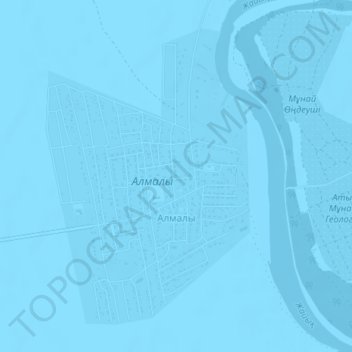
Алмалы topographic map
Interactive map
Click on the map to display elevation.
About this map
Name: Алмалы topographic map, elevation, terrain.
Location: Алмалы, Makhambet District, Atyrau Region, Kazakhstan (47.24501 51.87644 47.26773 51.89953)
Average elevation: -21 m
Minimum elevation: -24 m
Maximum elevation: -18 m