
Thank you for supporting this site ❤️
Make a donation
Make a donation
Musikot topographic map
Click on the map to display elevation.
Thank you for supporting this site ❤️
Make a donation
Make a donation
About this map
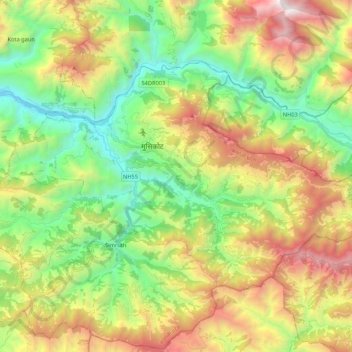
Name: Musikot topographic map, elevation, terrain.
Location: Musikot, Western Rukum District, Karnali Pradesh, 22000, Nepal (28.55177 82.36768 28.67412 82.58138)
Average elevation: 1,742 m
Minimum elevation: 810 m
Maximum elevation: 3,222 m
Thank you for supporting this site ❤️
Make a donation
Make a donation