
Nonogasta topographic map
Interactive map
Click on the map to display elevation.
About this map
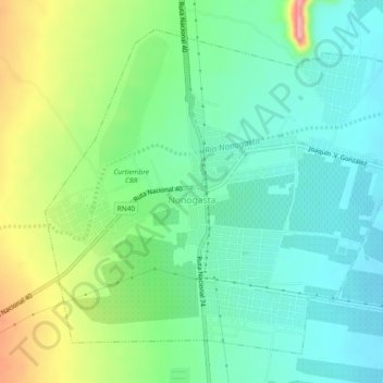
Name: Nonogasta topographic map, elevation, terrain.
Average elevation: 936 m
Minimum elevation: 895 m
Maximum elevation: 1,027 m
Other topographic maps
Click on a map to view its topography, its elevation and its terrain.
Cerro La Punta
Cerro La Punta, Departametno Independencia, La Rioja, F5386, Argentina
Average elevation: 1,097 m