
Appleton topographic map
Interactive map
Click on the map to display elevation.
About this map
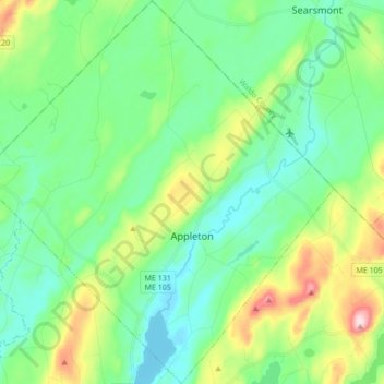
Name: Appleton topographic map, elevation, terrain.
Location: Appleton, Knox County, Maine, Estados Unidos da América (44.24205 -69.34662 44.36466 -69.18761)
Average elevation: 105 m
Minimum elevation: 23 m
Maximum elevation: 332 m