
Lake Hood topographic map
Interactive map
Click on the map to display elevation.
About this map
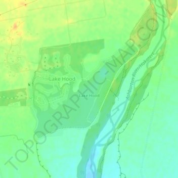
Name: Lake Hood topographic map, elevation, terrain.
Location: Lake Hood, Ashburton District, Canterbury, Nueva Zelanda (-43.97331 171.76185 -43.95886 171.78397)
Average elevation: 62 m
Minimum elevation: 50 m
Maximum elevation: 77 m