
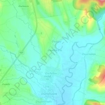
บ้านศีรษะอาท topographic map
Interactive map
Click on the map to display elevation.
About this map
Name: บ้านศีรษะอาท topographic map, elevation, terrain.
Location: บ้านศีรษะอาท, Province de Chiang Mai, Thaïlande (19.37188 98.94904 19.41188 98.98904)
Average elevation: 409 m
Minimum elevation: 383 m
Maximum elevation: 491 m