
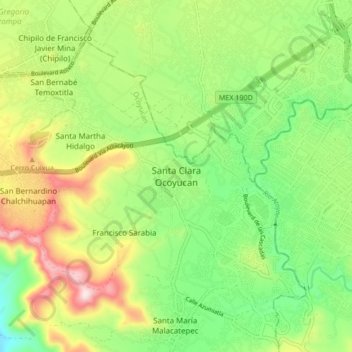
Santa Clara Ocoyucan topographic map
Interactive map
Click on the map to display elevation.
About this map
Name: Santa Clara Ocoyucan topographic map, elevation, terrain.
Location: Santa Clara Ocoyucan, Ocoyucan, Puebla, 72193, México (18.93694 -98.34139 19.01694 -98.26139)
Average elevation: 2,126 m
Minimum elevation: 1,950 m
Maximum elevation: 2,398 m