
هزيل topographic map
Interactive map
Click on the map to display elevation.
About this map
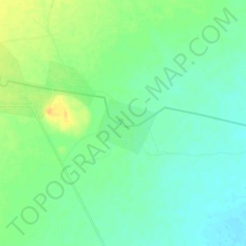
Name: هزيل topographic map, elevation, terrain.
Location: هزيل, قضاء الموصل, Gobernación de Nínive, Irak (36.12846 42.04575 36.16846 42.08575)
Average elevation: 313 m
Minimum elevation: 301 m
Maximum elevation: 330 m