
Oldeholtpade topographic map
Interactive map
Click on the map to display elevation.
About this map
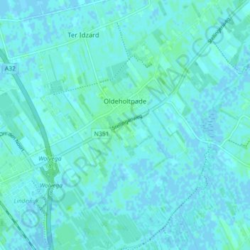
Name: Oldeholtpade topographic map, elevation, terrain.
Location: Oldeholtpade, Weststellingwerf, Friesland, Nederland (52.86714 6.01317 52.90977 6.07999)
Average elevation: 2 m
Minimum elevation: -3 m
Maximum elevation: 6 m