
Dhargad topographic map
Interactive map
Click on the map to display elevation.
About this map
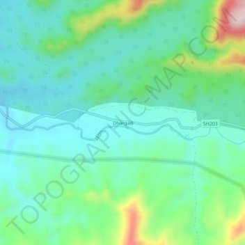
Name: Dhargad topographic map, elevation, terrain.
Location: Dhargad, Chikhaldara, Amravati, Maharashtra, India (21.24178 76.96086 21.28178 77.00086)
Average elevation: 646 m
Minimum elevation: 560 m
Maximum elevation: 905 m