
Olonkin City topographic map
Interactive map
Click on the map to display elevation.
About this map
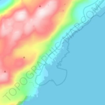
Name: Olonkin City topographic map, elevation, terrain.
Location: Olonkin City, Jan Mayen, Norway (70.90245 -8.73599 70.94245 -8.69599)
Average elevation: 153 m
Minimum elevation: -5 m
Maximum elevation: 517 m