
Albulapass topographic map
Interactive map
Click on the map to display elevation.
About this map
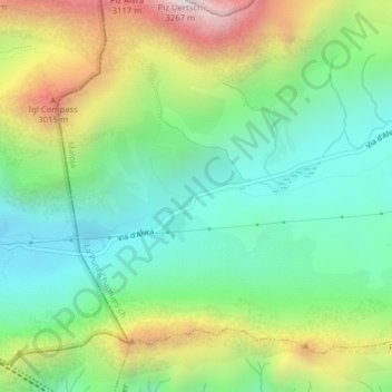
Name: Albulapass topographic map, elevation, terrain.
Average elevation: 2,560 m
Minimum elevation: 2,202 m
Maximum elevation: 3,228 m
Das Hospiz auf der Passhöhe; Nordseite