
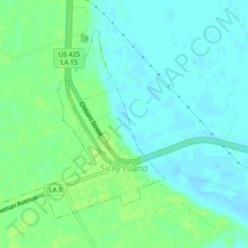
Sicily Island topographic map
Interactive map
Click on the map to display elevation.
About this map
Name: Sicily Island topographic map, elevation, terrain.
Location: Sicily Island, Catahoula Parish, Louisiana, United States (31.84105 -91.67262 31.86159 -91.65095)
Average elevation: 20 m
Minimum elevation: 14 m
Maximum elevation: 26 m