
Thank you for supporting this site ❤️
Make a donation
Make a donation
Washita County topographic map
Click on the map to display elevation.
Thank you for supporting this site ❤️
Make a donation
Make a donation
About this map
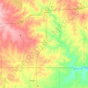
Name: Washita County topographic map, elevation, terrain.
Location: Washita County, Oklahoma, United States (35.09715 -99.36316 35.46589 -98.61797)
Average elevation: 494 m
Minimum elevation: 394 m
Maximum elevation: 629 m
Thank you for supporting this site ❤️
Make a donation
Make a donation