
Manoufla topographic map
Interactive map
Click on the map to display elevation.
About this map
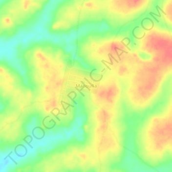
Name: Manoufla topographic map, elevation, terrain.
Location: Manoufla, Kononfla, Marahoué, Sassandra-Marahoué, Côte d’Ivoire (6.60039 -5.64435 6.64039 -5.60435)
Average elevation: 220 m
Minimum elevation: 189 m
Maximum elevation: 246 m