
Thank you for supporting this site ❤️
Make a donation
Make a donation
Utphe topographic map
Click on the map to display elevation.
Thank you for supporting this site ❤️
Make a donation
Make a donation
About this map
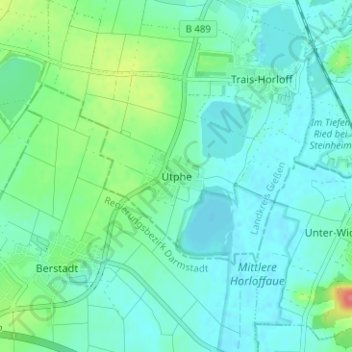
Name: Utphe topographic map, elevation, terrain.
Location: Utphe, Hungen, Landkreis Gießen, Hessen, 35410, Deutschland (50.41636 8.86617 50.45636 8.90617)
Average elevation: 139 m
Minimum elevation: 124 m
Maximum elevation: 192 m
Thank you for supporting this site ❤️
Make a donation
Make a donation