
Shikrapur topographic map
Click on the map to display elevation.
About this map
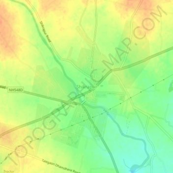
Name: Shikrapur topographic map, elevation, terrain.
Location: Shikrapur, Shirur, Pune District, Maharashtra, 412208, India (18.67599 74.11690 18.71599 74.15690)
Average elevation: 581 m
Minimum elevation: 559 m
Maximum elevation: 597 m