
Chappal Gumti topographic map
Interactive map
Click on the map to display elevation.
About this map
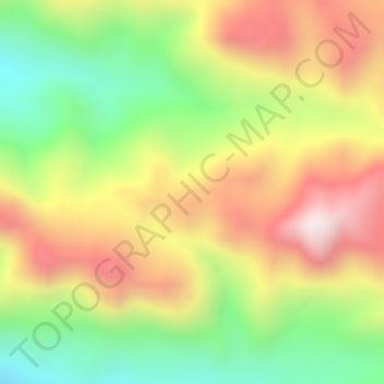
Name: Chappal Gumti topographic map, elevation, terrain.
Location: Chappal Gumti, Gashaka, Taraba, Nigeria (7.41662 11.64995 7.41672 11.65005)
Average elevation: 1,423 m
Minimum elevation: 1,097 m
Maximum elevation: 1,726 m