
Thank you for supporting this site ❤️
Make a donation
Make a donation
Hideaway Hills topographic map
Click on the map to display elevation.
Thank you for supporting this site ❤️
Make a donation
Make a donation
About this map
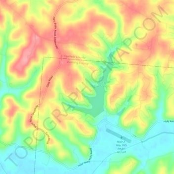
Name: Hideaway Hills topographic map, elevation, terrain.
Location: Hideaway Hills, Hocking County, Ohio, 43155, United States (39.63479 -82.49710 39.67479 -82.45710)
Average elevation: 282 m
Minimum elevation: 230 m
Maximum elevation: 334 m
Thank you for supporting this site ❤️
Make a donation
Make a donation