
Clive topographic map
Interactive map
Click on the map to display elevation.
About this map
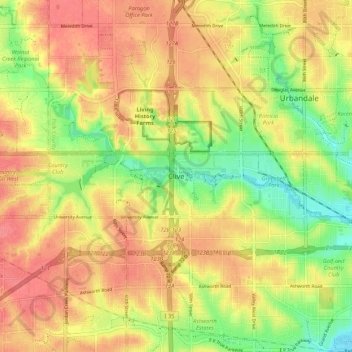
Name: Clive topographic map, elevation, terrain.
Location: Clive, Polk County, Iowa, 50325, Estados Unidos de América (41.56966 -93.81546 41.64966 -93.73546)
Average elevation: 287 m
Minimum elevation: 249 m
Maximum elevation: 314 m