
La Rita topographic map
Interactive map
Click on the map to display elevation.
About this map
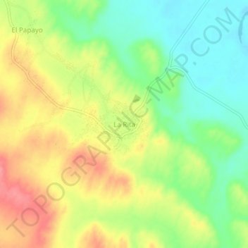
Name: La Rita topographic map, elevation, terrain.
Location: La Rita, Tambo Grande, Piura, Perú (-5.02877 -80.32211 -4.98877 -80.28211)
Average elevation: 104 m
Minimum elevation: 65 m
Maximum elevation: 148 m