
Guitry topographic map
Interactive map
Click on the map to display elevation.
About this map
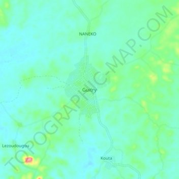
Name: Guitry topographic map, elevation, terrain.
Location: Guitry, Lôh-Djiboua, Gôh-Djiboua, Côte d’Ivoire (5.47915 -5.28010 5.55915 -5.20010)
Average elevation: 32 m
Minimum elevation: 11 m
Maximum elevation: 123 m