
Blankenberg topographic map
Interactive map
Click on the map to display elevation.
About this map
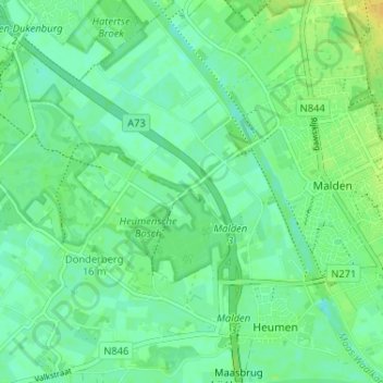
Name: Blankenberg topographic map, elevation, terrain.
Location: Blankenberg, Heumen, Gelderland, Nederland, 6582 BV, Nederland (51.75950 5.81010 51.79950 5.85010)
Average elevation: 11 m
Minimum elevation: 3 m
Maximum elevation: 25 m