
Harrison County topographic map
Interactive map
Click on the map to display elevation.
About this map
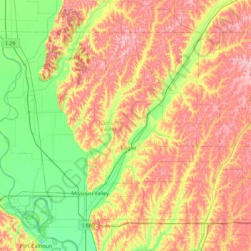
Name: Harrison County topographic map, elevation, terrain.
Location: Harrison County, Iowa, Vereinigte Staaten von Amerika (41.50479 -96.13821 41.86558 -95.49684)
Average elevation: 358 m
Minimum elevation: 297 m
Maximum elevation: 446 m