
Thank you for supporting this site ❤️
Make a donation
Make a donation
Cape Haze topographic map
Click on the map to display elevation.
Thank you for supporting this site ❤️
Make a donation
Make a donation
About this map
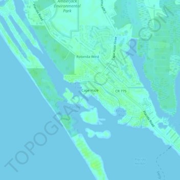
Name: Cape Haze topographic map, elevation, terrain.
Location: Cape Haze, Charlotte County, Florida, 33946, United States (26.83034 -82.31426 26.87034 -82.27426)
Average elevation: 2 m
Minimum elevation: -4 m
Maximum elevation: 10 m
Thank you for supporting this site ❤️
Make a donation
Make a donation