
Jamuria topographic map
Interactive map
Click on the map to display elevation.
About this map
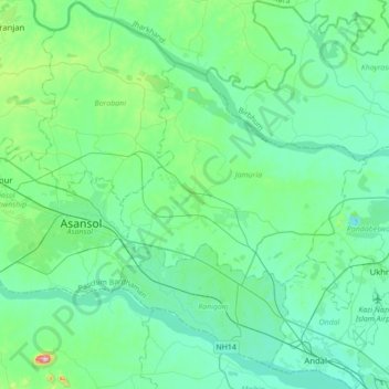
Name: Jamuria topographic map, elevation, terrain.
Location: Jamuria, Paschim Bardhaman, West Bengal, 713336, India (23.55023 86.91705 23.87023 87.23705)
Average elevation: 111 m
Minimum elevation: 50 m
Maximum elevation: 438 m
Jamuria is located at 23°42′N 87°05′E / 23.7°N 87.08°E / 23.7; 87.08. It has an average elevation of 111 metres (364 feet).