
Thank you for supporting this site ❤️
Make a donation
Make a donation
Imsouhal topographic map
Click on the map to display elevation.
Thank you for supporting this site ❤️
Make a donation
Make a donation
About this map
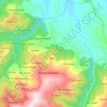
Name: Imsouhal topographic map, elevation, terrain.
Location: Imsouhal, Iferhounene District, Tizi Ouzou, 15024, Algeria (36.54862 4.36270 36.61188 4.42935)
Average elevation: 661 m
Minimum elevation: 268 m
Maximum elevation: 1,362 m
Thank you for supporting this site ❤️
Make a donation
Make a donation