
松本市 topographic map
Interactive map
Click on the map to display elevation.
About this map
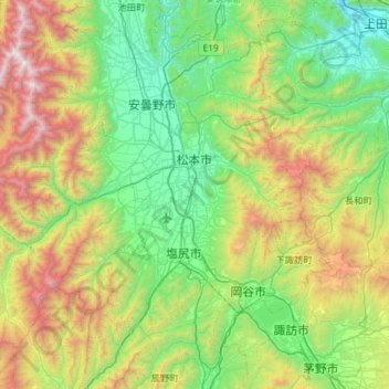
Name: 松本市 topographic map, elevation, terrain.
Location: 松本市, Präfektur Nagano, Japan (36.00963 137.55018 36.37944 138.13124)
Average elevation: 1,117 m
Minimum elevation: 408 m
Maximum elevation: 2,872 m