
Thank you for supporting this site ❤️
Make a donation
Make a donation
Antoli topographic map
Click on the map to display elevation.
Thank you for supporting this site ❤️
Make a donation
Make a donation
About this map
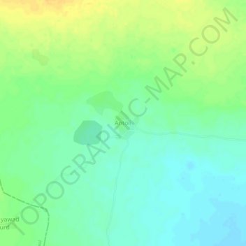
Name: Antoli topographic map, elevation, terrain.
Location: Antoli, Malpura Tehsil, Tonk District, Rajasthan, India (26.36924 75.13664 26.40924 75.17664)
Average elevation: 366 m
Minimum elevation: 354 m
Maximum elevation: 381 m
Thank you for supporting this site ❤️
Make a donation
Make a donation