
Koekangerveld topographic map
Interactive map
Click on the map to display elevation.
About this map
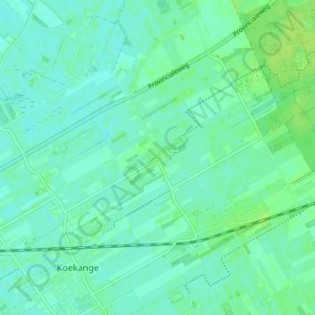
Name: Koekangerveld topographic map, elevation, terrain.
Location: Koekangerveld, Drente, Niederlande, 7958, Niederlande (52.69567 6.31476 52.73567 6.35476)
Average elevation: 4 m
Minimum elevation: 0 m
Maximum elevation: 11 m