
Rajura topographic map
Interactive map
Click on the map to display elevation.
About this map
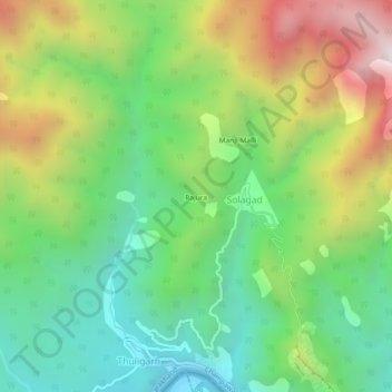
Name: Rajura topographic map, elevation, terrain.
Location: Rajura, Champawat, Uttarakhand, India (29.13526 80.16491 29.17526 80.20491)
Average elevation: 758 m
Minimum elevation: 271 m
Maximum elevation: 1,571 m