
Djebel Oust topographic map
Interactive map
Click on the map to display elevation.
About this map
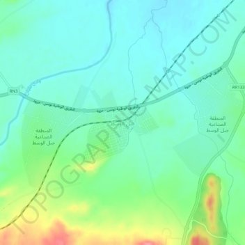
Name: Djebel Oust topographic map, elevation, terrain.
Average elevation: 85 m
Minimum elevation: 61 m
Maximum elevation: 151 m
Other topographic maps
Click on a map to view its topography, its elevation and its terrain.
Jbel Oust
Tunisie > Gouvernorat Zaghouan > Jbel Oust
Jbel Oust, Délégation Bir Mcherga, Gouvernorat Zaghouan, 1111, Tunisie
Average elevation: 118 m