
RT 15 topographic map
Interactive map
Click on the map to display elevation.
About this map
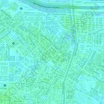
Name: RT 15 topographic map, elevation, terrain.
Average elevation: 4 m
Minimum elevation: 1 m
Maximum elevation: 8 m
Other topographic maps
Click on a map to view its topography, its elevation and its terrain.
RW 10
Indonesia > Jakarta Special Capital Region > Kapuk
RW 10, Kapuk, Cengkareng, West Jakarta, Jakarta Special Capital Region, 11720, Indonesia
Average elevation: 4 m