
Arrey topographic map
Interactive map
Click on the map to display elevation.
About this map
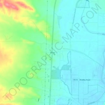
Name: Arrey topographic map, elevation, terrain.
Location: Arrey, Sierra County, New Mexico, 87930, United States (32.82870 -107.33954 32.86870 -107.29954)
Average elevation: 1,280 m
Minimum elevation: 1,256 m
Maximum elevation: 1,348 m