
Thank you for supporting this site ❤️
Make a donation
Make a donation
Holmes Township topographic map
Click on the map to display elevation.
Thank you for supporting this site ❤️
Make a donation
Make a donation
About this map
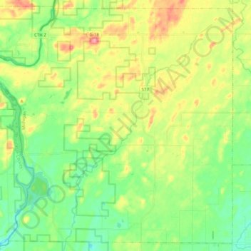
Name: Holmes Township topographic map, elevation, terrain.
Location: Holmes Township, Menominee County, Michigan, United States (45.46364 -87.83373 45.59430 -87.63526)
Average elevation: 240 m
Minimum elevation: 204 m
Maximum elevation: 298 m
Thank you for supporting this site ❤️
Make a donation
Make a donation