
Bandar Baru Permyjaya topographic map
Interactive map
Click on the map to display elevation.
About this map
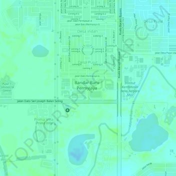
Name: Bandar Baru Permyjaya topographic map, elevation, terrain.
Location: Bandar Baru Permyjaya, Miri, Miri Division, Sarawak, Malaysia (4.44927 114.03263 4.45271 114.04160)
Average elevation: 5 m
Minimum elevation: -3 m
Maximum elevation: 8 m
Other topographic maps
Click on a map to view its topography, its elevation and its terrain.
Kampong Tulang
Kampong Tulang, Miri, Miri Division, Sarawak, 98100, Malaysia
Average elevation: 3 m
Canada Hill
Malaysia > Sarawak > Miri > Miri
Canada Hill, Miri, Miri Division, Sarawak, 98000, Malaysia
Average elevation: 22 m
Kampong Wireless
Kampong Wireless, Miri, Miri Division, Sarawak, 98000, Malaysia
Average elevation: 10 m