
Marthalen topographic map
Interactive map
Click on the map to display elevation.
About this map
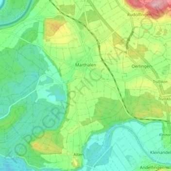
Name: Marthalen topographic map, elevation, terrain.
Location: Marthalen, Bezirk Andelfingen, Zürich, Schweiz (47.59470 8.59293 47.64447 8.66823)
Average elevation: 393 m
Minimum elevation: 341 m
Maximum elevation: 506 m