
Roghudi topographic map
Interactive map
Click on the map to display elevation.
About this map
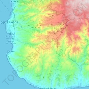
Name: Roghudi topographic map, elevation, terrain.
Location: Roghudi, RC, Calabria, Italy (37.92242 15.75887 38.16217 15.95306)
Average elevation: 532 m
Minimum elevation: -1 m
Maximum elevation: 1,910 m