
Wallenrod topographic map
Interactive map
Click on the map to display elevation.
About this map
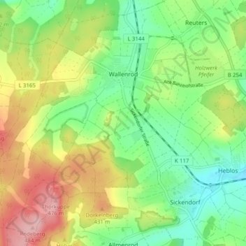
Name: Wallenrod topographic map, elevation, terrain.
Location: Wallenrod, Lauterbach, Vogelsbergkreis, Hessen, Deutschland (50.63083 9.28450 50.67776 9.36101)
Average elevation: 385 m
Minimum elevation: 321 m
Maximum elevation: 480 m
Die Statistisch-topographisch-historische Beschreibung des Großherzogthums Hessen berichtet 1830 über Wallenrod: