
The Barossa Council topographic map
Interactive map
Click on the map to display elevation.
About this map
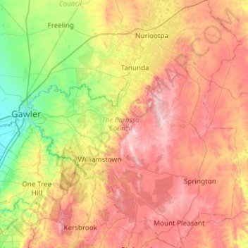
Name: The Barossa Council topographic map, elevation, terrain.
Location: The Barossa Council, South Australia, Australia (-34.81534 138.75145 -34.41155 139.17193)
Average elevation: 308 m
Minimum elevation: 38 m
Maximum elevation: 627 m
Other topographic maps
Click on a map to view its topography, its elevation and its terrain.