
Chintalapadu topographic map
Interactive map
Click on the map to display elevation.
About this map
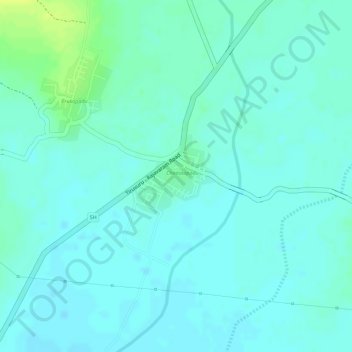
Name: Chintalapadu topographic map, elevation, terrain.
Location: Chintalapadu, Krishna, Andhra Pradesh, India (17.02633 80.55163 17.03327 80.55918)
Average elevation: 72 m
Minimum elevation: 67 m
Maximum elevation: 85 m