
Thank you for supporting this site ❤️
Make a donation
Make a donation
Wingfield topographic map
Click on the map to display elevation.
Thank you for supporting this site ❤️
Make a donation
Make a donation
About this map
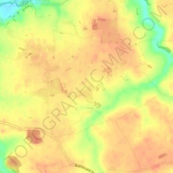
Name: Wingfield topographic map, elevation, terrain.
Location: Wingfield, Mid Suffolk, Suffolk, England, United Kingdom (52.32936 1.24035 52.36651 1.29893)
Average elevation: 46 m
Minimum elevation: 19 m
Maximum elevation: 57 m
Thank you for supporting this site ❤️
Make a donation
Make a donation
Other topographic maps
Click on a map to view its topography, its elevation and its terrain.