
Thank you for supporting this site ❤️
Make a donation
Make a donation
Pendell topographic map
Click on the map to display elevation.
Thank you for supporting this site ❤️
Make a donation
Make a donation
About this map
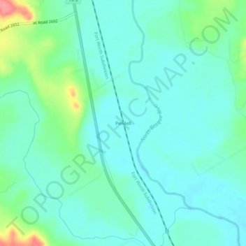
Name: Pendell topographic map, elevation, terrain.
Location: Pendell, Bosque County, Texas, United States (31.69377 -97.56141 31.73377 -97.52141)
Average elevation: 195 m
Minimum elevation: 176 m
Maximum elevation: 259 m
Thank you for supporting this site ❤️
Make a donation
Make a donation
Other topographic maps
Click on a map to view its topography, its elevation and its terrain.