Geolocate

Metigahathenna topographic map

Interactive map

Click on the map to display elevation.

About this map

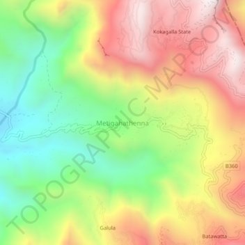
Name: Metigahathenna topographic map, elevation, terrain.

Location: Metigahathenna, Badulla District, Uva Province, Sri Lanka (7.05732 81.12682 7.09732 81.16682)

Average elevation: 852 m

Minimum elevation: 323 m

Maximum elevation: 1,422 m

Other topographic maps

Click on a map to view its topography, its elevation and its terrain.

Uma Oya

Sri Lanka > Uva Province > Perawella

Average elevation: 1,200 m

Gal Oya

Sri Lanka > Uva Province

Average elevation: 204 m

Awala Hela

Sri Lanka > Uva Province > Bulupitiya

Average elevation: 373 m

Pallewela

Sri Lanka > Uva Province

Average elevation: 163 m

Badulla District

Sri Lanka > Uva Province

Average elevation: 475 m

Kandiyapitawewa

Sri Lanka > Uva Province > Banagala

Average elevation: 144 m

Weli Oya _MC

Sri Lanka > Uva Province > Banagala

Average elevation: 194 m