
Leonding topographic map
Interactive map
Click on the map to display elevation.
About this map
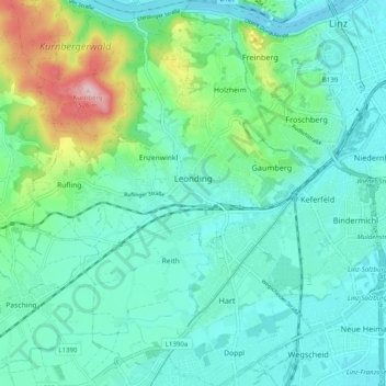
Name: Leonding topographic map, elevation, terrain.
Location: Leonding, Linz-Land, Upper Austria, 4060, Austria (48.24367 14.20462 48.30982 14.28137)
Average elevation: 307 m
Minimum elevation: 251 m
Maximum elevation: 517 m