
Stabroek topographic map
Interactive map
Click on the map to display elevation.
About this map
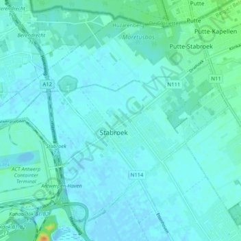
Name: Stabroek topographic map, elevation, terrain.
Location: Stabroek, Antwerp, Flanders, 2940, Belgium (51.31350 4.32617 51.35669 4.40605)
Average elevation: 5 m
Minimum elevation: -4 m
Maximum elevation: 38 m