
Khandala topographic map
Interactive map
Click on the map to display elevation.
About this map
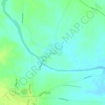
Name: Khandala topographic map, elevation, terrain.
Location: Khandala, Nagpur, Maharashtra, India (21.34464 79.38951 21.34963 79.39607)
Average elevation: 300 m
Minimum elevation: 292 m
Maximum elevation: 309 m
Other topographic maps
Click on a map to view its topography, its elevation and its terrain.
Khandala
India > Maharashtra > Khandala
Khandala, Pune, Maharashtra, 410300, India
Average elevation: 547 m