
La Cangagua topographic map
Interactive map
Click on the map to display elevation.
About this map
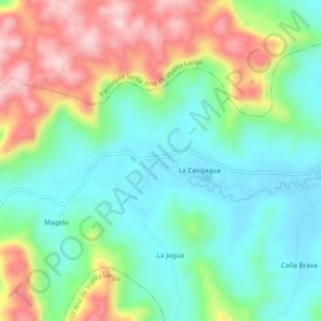
Name: La Cangagua topographic map, elevation, terrain.
Location: La Cangagua, Santa Ana, Manabí, Ecuador (-1.27200 -80.27257 -1.23200 -80.23257)
Average elevation: 202 m
Minimum elevation: 97 m
Maximum elevation: 391 m